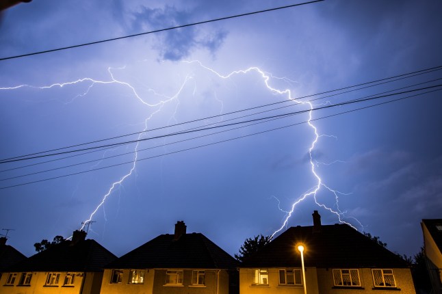
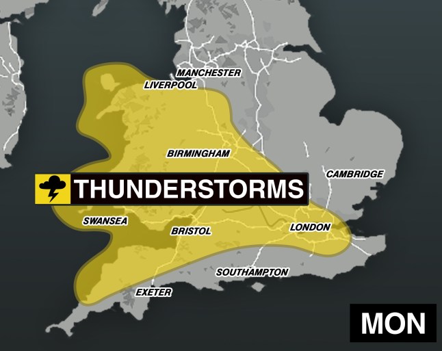
A yellow weather warning for thunderstorms has been issued for parts of the UK today with fears a deluge could bring flooding.
The Met Office has put in place a vast yellow warning for Wales, the West of England and London, with disruption from midday to 10pm today.
Some flooding and disruption throughout the day could result from forecast heavy showers.
The stormy weather follows heavy showers today, mainly affecting the West Country, South Wales and parts of the West Midlands.
The Met Office said the rain tomorrow is expected to be ‘intense for short periods of time’ and could produce 20-30 mm in less than an hour.
The thunderstorms could unleash as much as 40-50mm within a couple of hours in the worst-affected areas.
Dangerous lightning, hail and gusty winds are also forecast.
The rain brings with it a small chance that homes and businesses could be flooded quickly, the Met Office said.
Full list of areas hit by yellow weather warning
East Midlands
- Northamptonshire
East of England
- Central Bedfordshire
- Essex
- Hertfordshire
- Luton
- Thurrock
London & South East England
- Bracknell Forest
- Buckinghamshire
- Greater London
- Hampshire
- Kent
- Medway
- Milton Keynes
- Oxfordshire
- Reading
- Slough
- Surrey
- West Berkshire
- Windsor and Maidenhead
- Wokingham
North West England
- Cheshire East
- Cheshire West and Chester
South West England
- Bath and North East Somerset
- Bristol
- Cornwall
- Devon
- Gloucestershire
- North Somerset
- Somerset
- South Gloucestershire
- Swindon
- Wiltshire
Wales
- Blaenau Gwent
- Bridgend
- Caerphilly
- Cardiff
- Carmarthenshire
- Ceredigion
- Conwy
- Denbighshire
- Flintshire
- Gwynedd
- Isle of Anglesey
- Merthyr Tydfil
- Monmouthshire
- Neath Port Talbot
- Newport
- Pembrokeshire
- Powys
- Rhondda Cynon Taf
- Swansea
- Torfaen
- Vale of Glamorgan
- Wrexham
West Midlands
- Herefordshire
- Shropshire
- Staffordshire
- Stoke-on-Trent
- Telford and Wrekin
- Warwickshire
- West Midlands Conurbation
- Worcestershire
Road closures and difficult driving conditions can also be expected when the storms hit.
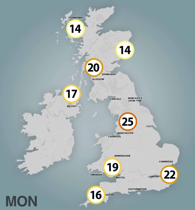
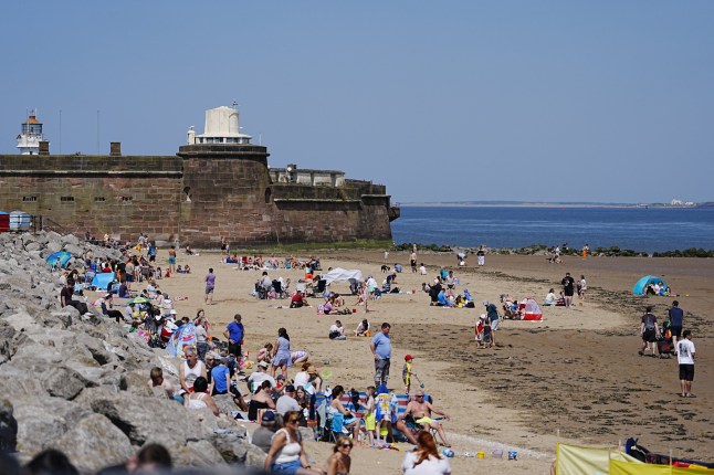
The yellow weather warning, issued at 10am this morning, brings to an end a long stretch of dry sunny weather, with temperatures forecast to reach highs of 25C to 26C in places.
There are three flood alerts in place as of tonight, but this could change when the wet weather hits tomorrow.
Flooding is possible in Kimpton and Lilley Bottom, in the Henley and Asseondon area and River Mimram in Hertfordshire.
Get in touch with our news team by emailing us at webnews@metro.co.uk.
For more stories like this, check our news page.